Each room lights up in real time — green when safe, red when help is needed, blue when cleared — giving everyone a shared picture of what’s happening across campus.
Built for your Campus
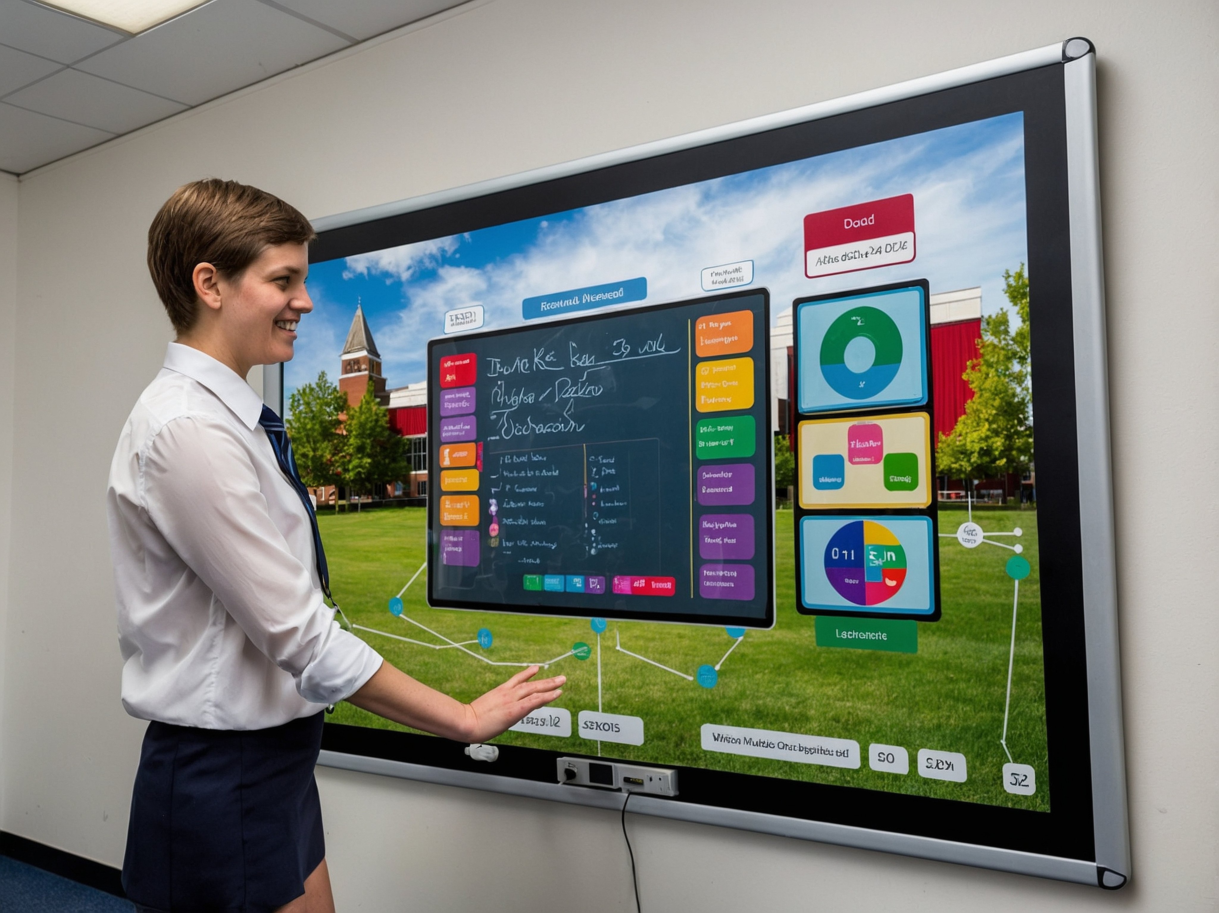
Custom Floorplans
We build Smart Maps from your actual floor plans — down to classrooms, offices, and evacuation points — so what you see matches your real spaces.
Multi-Building, Multi-Floor Coverage.
No blind spots. No guessing.
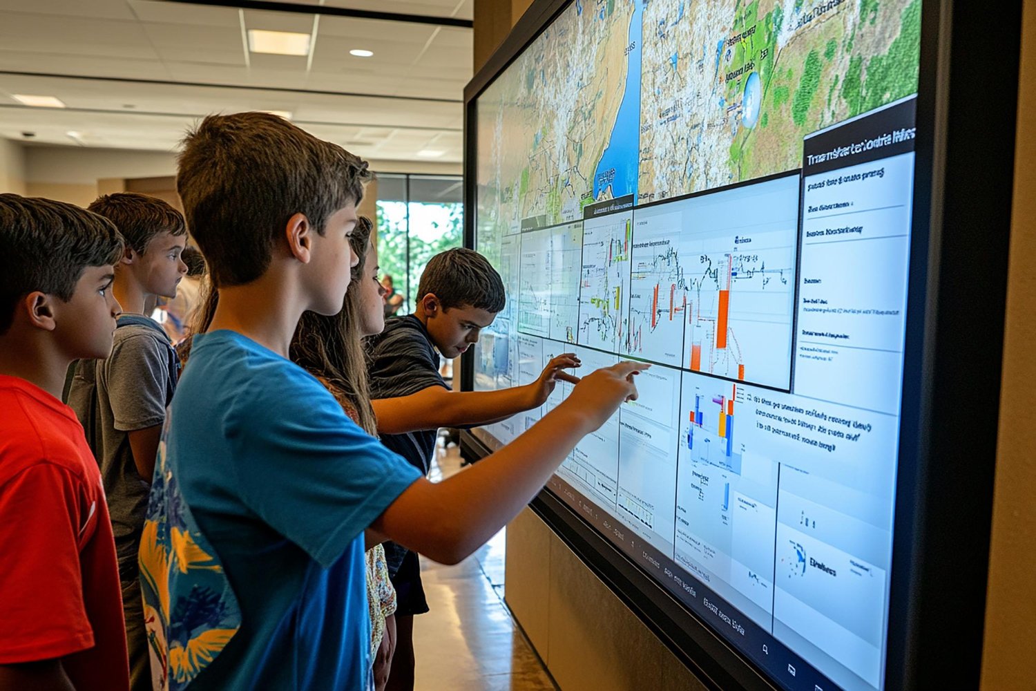
Every building, floor, and space across your campus into one unified view. Smart Maps link it all—so responders and staff see the full picture, no matter where an incident starts.
Move, Mark, and Be Seen
Realtime Map Updates
As staff move or mark rooms cleared, the map updates instantly — showing first responders where help’s still needed and where students are safe.
First Responder Visibility
Shared View, Coordinated Response
Police and fire arrive with eyes already on the scene — knowing which rooms are safe, where to enter, and who needs help first.
How it works
Send us your floor plans
Start with your existing floor plans. Upload your maps, and our team builds from there. Every room, hallway, and outdoor space becomes part of your digital campus.
We build your Smart Map
Our team transforms your layouts into an interactive Smart Map — a live digital twin of your campus.
Multi-floor? Multi-building? No problem. Everything connects seamlessly.
Bring it to life
Your Smart Map becomes the command center for every drill or emergency.
When an alert triggers, affected areas light up, check-ins update instantly, and first responders see what’s happening in real time.
Smart Map FAQ’s
Do first responders see the same map?
They do. Police, fire, and EMS see the live map the second an alert is sent — complete with entry points and cleared rooms.
Can staff update their location during an emergency?
Yes. Staff can move their marker or update status as they relocate — changes appear instantly across every device.
Can the Smart Map show multiple buildings or floors?
Yes. E3 supports multi-building and multi-floor campuses with instant switching between views.
How often are maps updated?
Anytime your building layout changes, we can update your Smart Map quickly — often within days, not months.
Can Smart Maps be used for drills?
Yes. During drills, maps visualize safe zones, check-ins, and response times — all documented for compliance.